Trail Walking La Chapelle-Gauthier - WP0001 - Photo
 vitius
vitius

User

© OpenStreetMap contributors
Length
Length
14.1 km
Max alt
Max alt
137 m
Uphill gradient
Uphill gradient
128 m
Km-Effort
Km-Effort  
15.8 km
Min alt
Min alt
94 m
Downhill gradient
Downhill gradient
124 m
Boucle
Boucle
Yes
Creation date :
2020-02-23 17:50:50.937
Updated on :
2020-09-19 14:25:06.368

(0 Reviews)

Walking
Walking
3h50
Difficulty : Difficult

Scan this QR Code to open this trail in the SityTrail application

FREE GPS app for hiking

Logo SityTrail SityTrail

IGN / Geographical institutes

Download SityTrail from the App Store Download SityTrail from Google Play

Logo SityTrail SityTrail World

The world is yours!

Download SityTrail from the App Store Download SityTrail from Google Play Download SityTrail on Huawei AppGallery

About

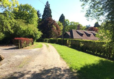
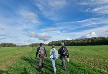
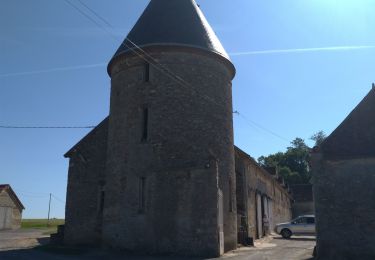
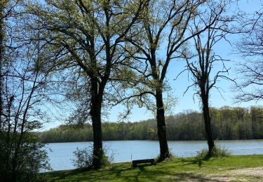
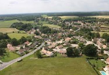
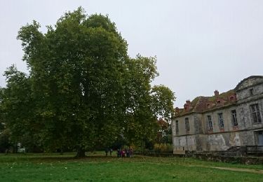
Trail Walking of 14.1 km to be discovered at Ile-de-France, Seine-et-Marne, La Chapelle-Gauthier. This trail is proposed by vitius.

Description

Circuit de 15 km dans les environs de La Chapelle-Gauthier, sans grande difficulté

Elevation profile

Positioning

Country:
France
Region :
Ile-de-France
Department/Province :
Seine-et-Marne
Municipality :
La Chapelle-Gauthier
Location:
Unknown
Start:(UTM)
492948 ; 5377110 (31U) N.

Trails nearby

Trail Walking Fontenailles - Les vallons de Fontenailles - Photo
Walking
BrunoMounier

Walking

Fontenailles, Ile-de-France, Seine-et-Marne, France
8.1 km | 9.4 km-effort
Unknown
Yes
Trail Walking Bombon - Bombon 2023 - Photo
Walking
pikibangi

Walking

Difficult
Bombon, Ile-de-France, Seine-et-Marne, France
13.8 km | 15.5 km-effort
3h 23min
Yes
Trail Walking La Chapelle-Gauthier - Boucle La Chapelle Gauthier par François - Photo
Walking
chessyca

Walking

Easy
La Chapelle-Gauthier, Ile-de-France, Seine-et-Marne, France
20 km | 23 km-effort
4h 35min
Yes
Trail Walking La Chapelle-Rablais - Forêt de Villefermoy - Boucle Sud - Photo
Walking

Walking

Difficult
La Chapelle-Rablais, Ile-de-France, Seine-et-Marne, France
19.6 km | 21 km-effort
3h 27min
Yes
Trail Walking La Chapelle-Gauthier - Grand Grippon.2 - Photo
Walking
pikibangi

Walking

Very difficult
La Chapelle-Gauthier, Ile-de-France, Seine-et-Marne, France
22 km | 24 km-effort
4h 48min
Yes
Trail Walking Fontenailles - Villefermoy - Photo
Walking
joelinou

Walking

Medium
Fontenailles, Ile-de-France, Seine-et-Marne, France
14.9 km | 16.4 km-effort
3h 10min
Yes
Trail Walking Saint-Ouen-en-Brie - JC 04 23 km St Ouen en Brie - Photo
Walking

Walking

Difficult
Saint-Ouen-en-Brie, Ile-de-France, Seine-et-Marne, France
23 km | 25 km-effort
5h 37min
Yes
Trail Walking Les Écrennes - champignons - Photo
Walking
alnprrt

Walking

Very easy
Les Écrennes, Ile-de-France, Seine-et-Marne, France
8.3 km | 8.9 km-effort
3h 25min
No
Trail Walking Fontenailles - BMF-161029 - Fontenailles-ChapelleGauthier - Photo
Walking
randodan

Walking

Very easy
Fontenailles, Ile-de-France, Seine-et-Marne, France
16 km | 18.3 km-effort
5h 30min
Yes


Close
My subscriptions